
01 · what is gone
the demolition
stills from the film la vie aux ruches
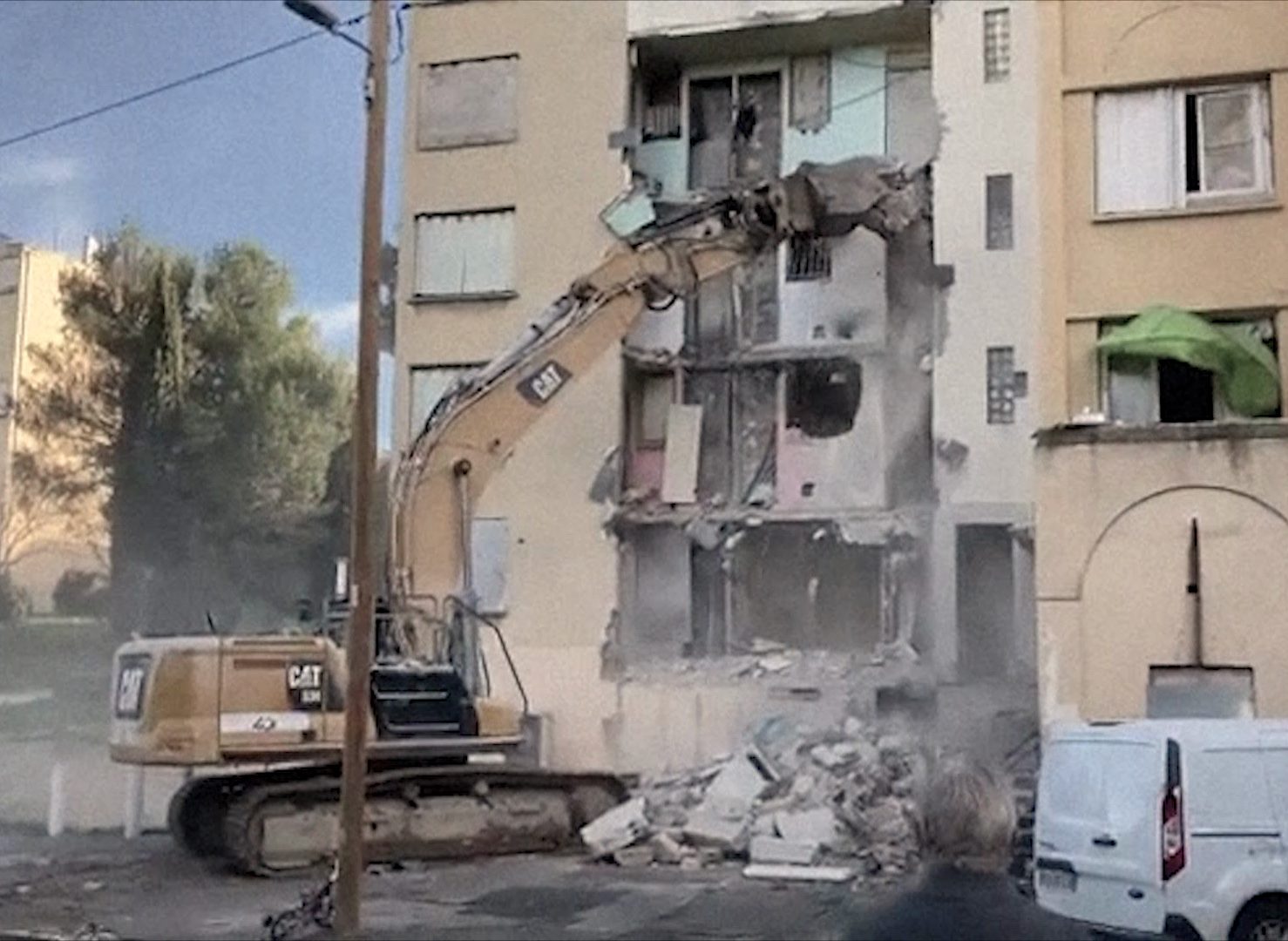
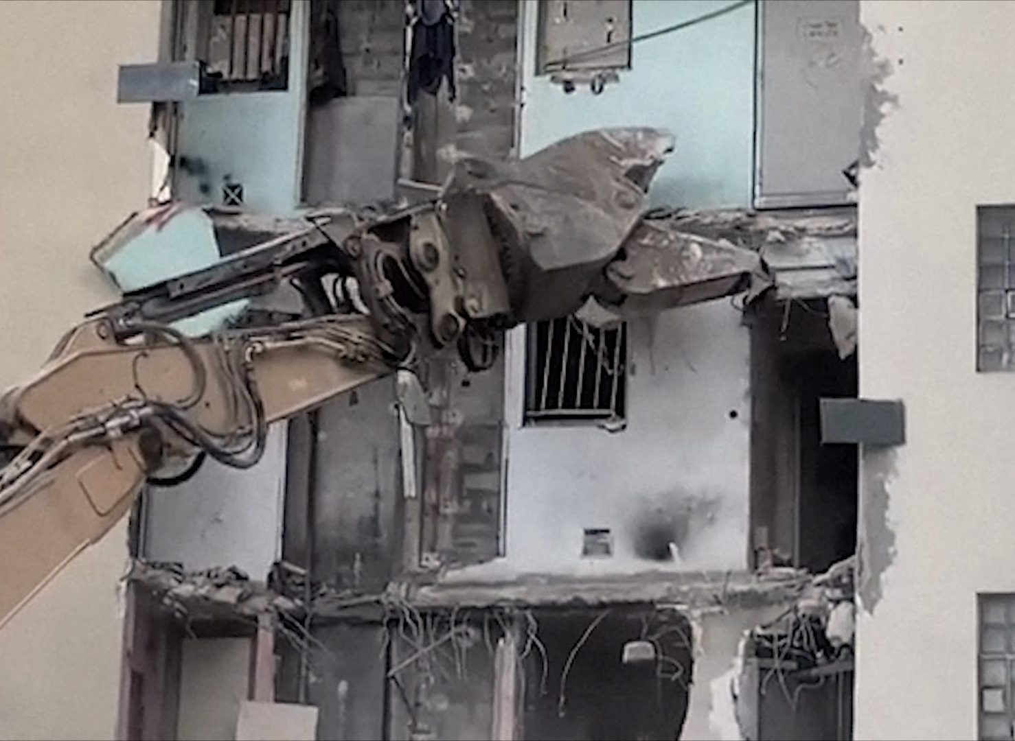
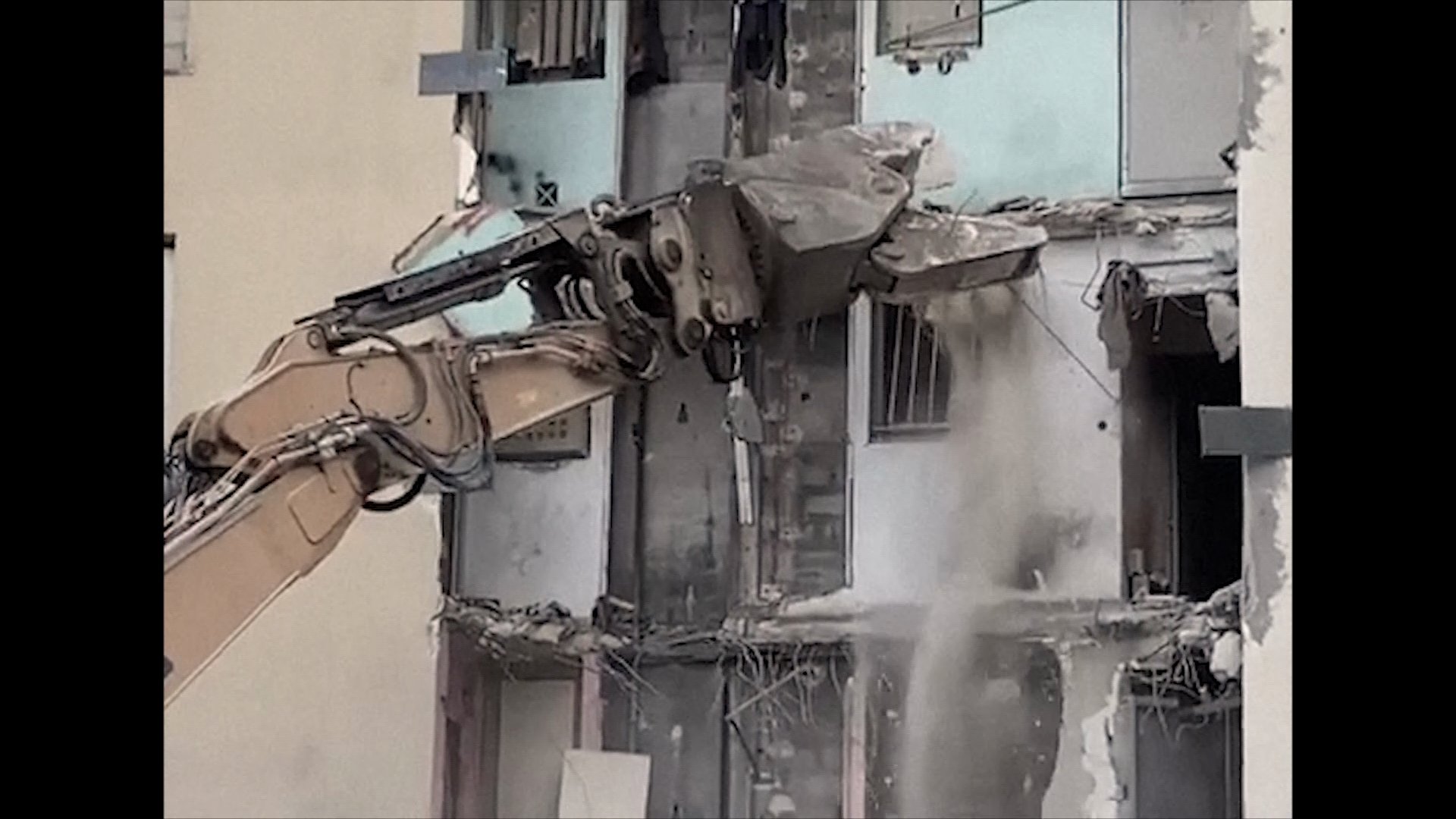
Images of the demolition, used in the film: the jaws open the façades, and the pink and green walls of the apartments appear in broad daylight.
 marseille · 13th arrondissement
les ruches hautes · marseille 13e
19602024
Between the Ruches basses and the Ruches hautes stood the Petit Séminaire: four buildings built from 1958 to 1960 and demolished from 2020 to 2024. The map puts them back on their feet. Travel back in time through the aerial views; each marker opens the images made on the spot by the children of Les Ruches.
the map of time
Move from one year to another: the aerial views change, the Petit Séminaire rises again or fades away. In pink, what is gone; in yellow, what remains.
what is gonewhat remains
01 · what is gone
stills from the film la vie aux ruches
Images of the demolition, used in the film: the jaws open the façades, and the pink and green walls of the apartments appear in broad daylight.
02 · what is gone
photograph by the children of Les Ruches, 2023
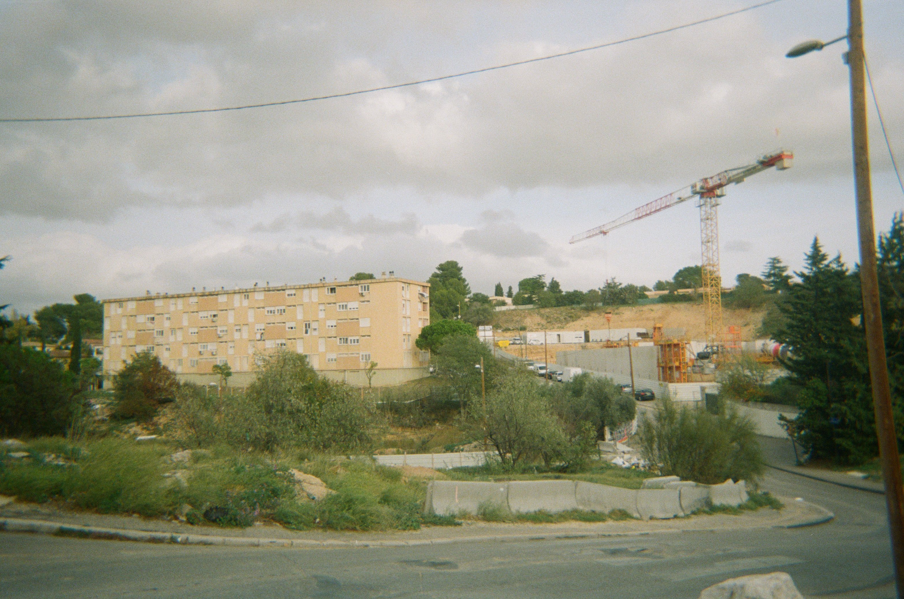
In 2023, the children photograph the road of the neighborhood: “You see the neighborhood in the distance, the works, the crane, and you see a bit of the broken Petit Séminaire.”
03 · what is gone
stills from the film la vie aux ruches, 2024
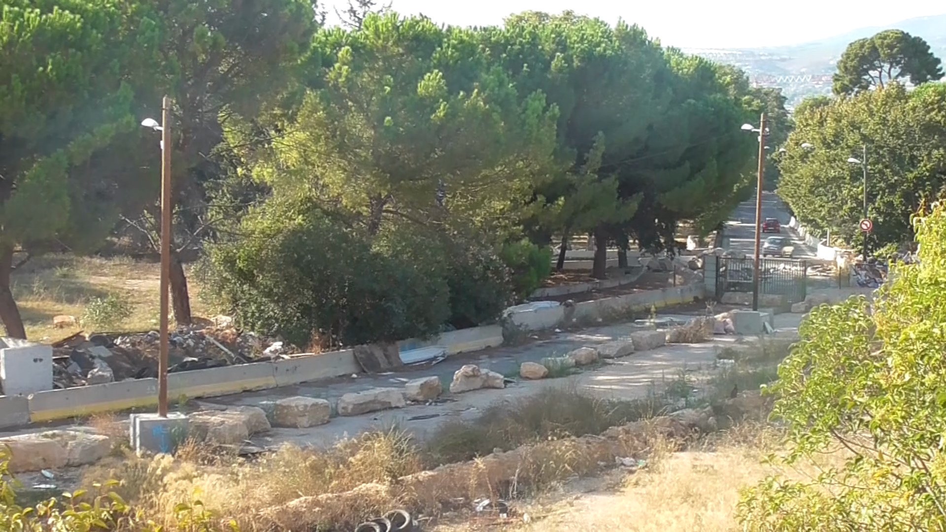
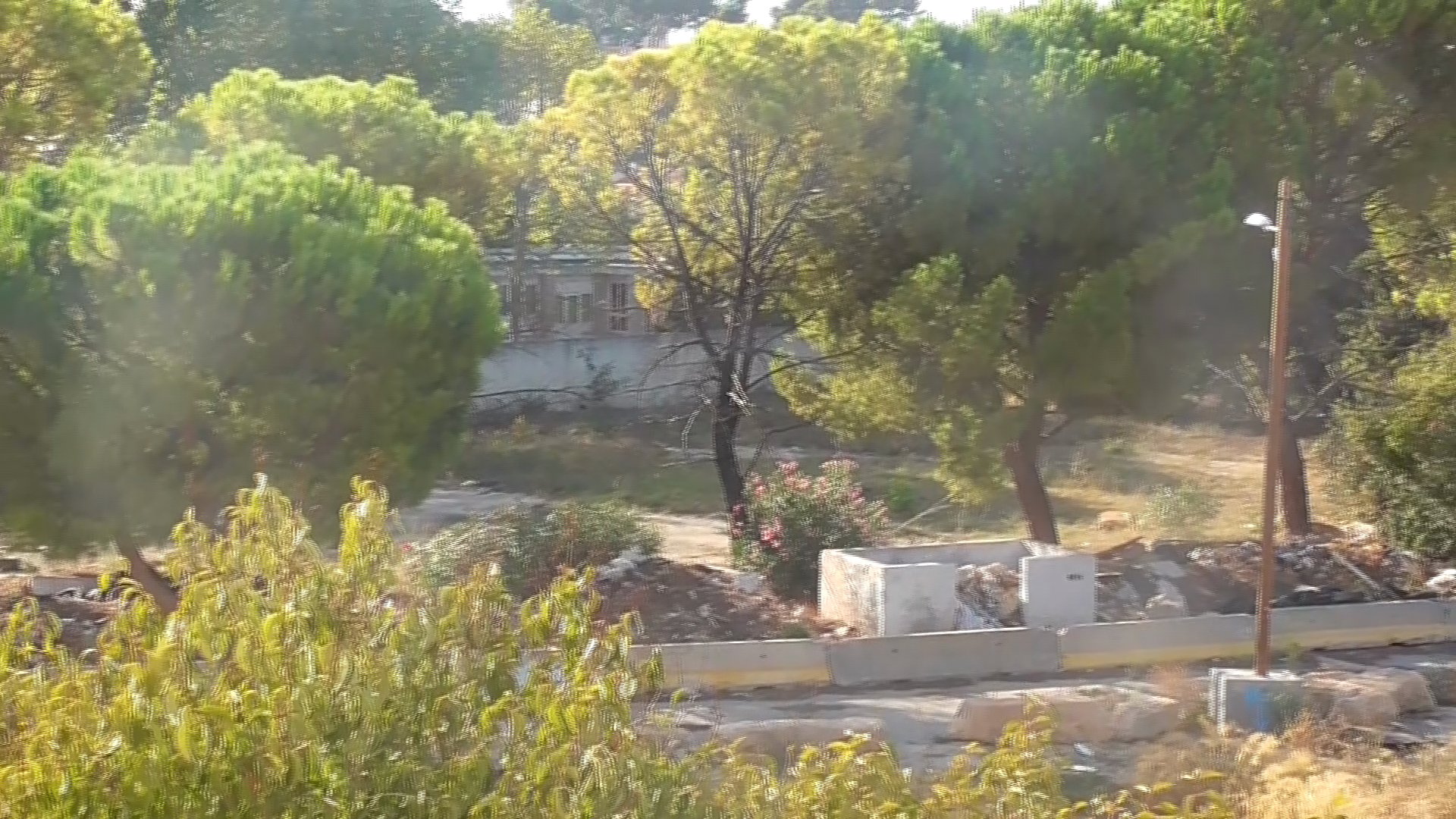
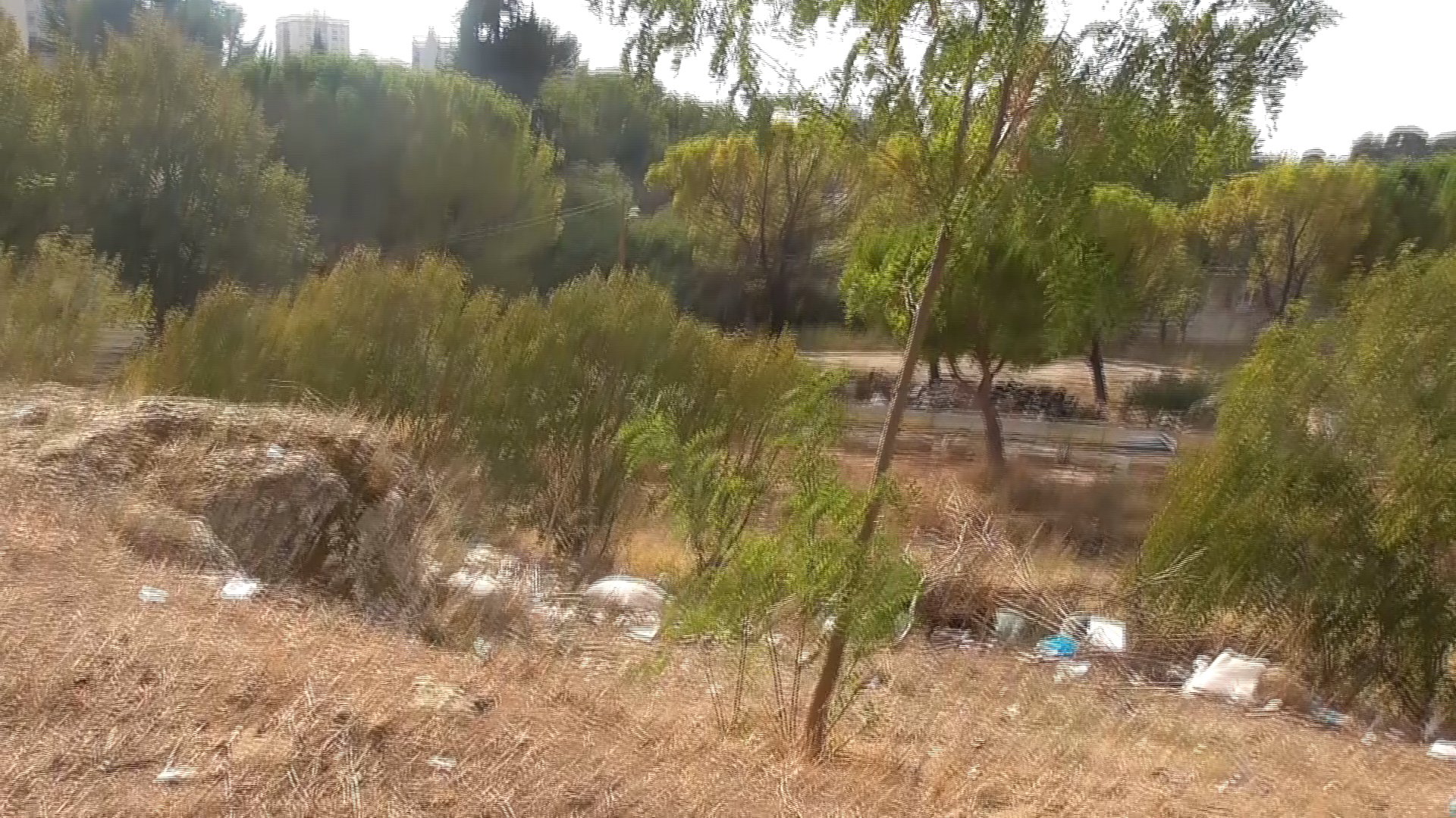
In the film, the children show the place: pines, dry grass, and streetlights still standing along streets that are gone.
04 · what is gone
the children’s map of the present, 2023
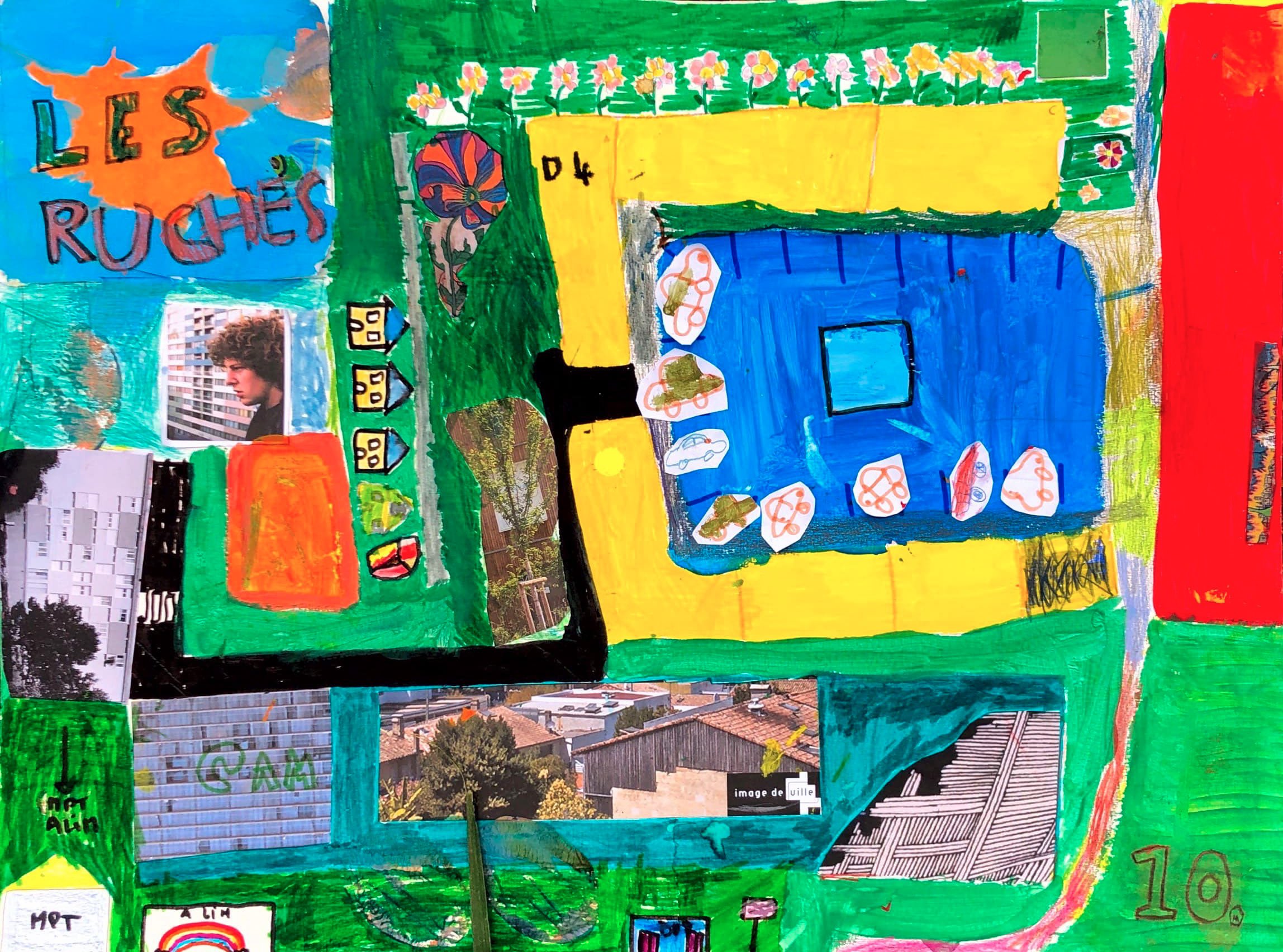
On the 2023 map, the fire station is drawn in red, under construction. In its place there used to be a field where the kids loved to play: “They shouldn’t have destroyed it.”
05 · what remains
photographs by the children of Les Ruches, 2023
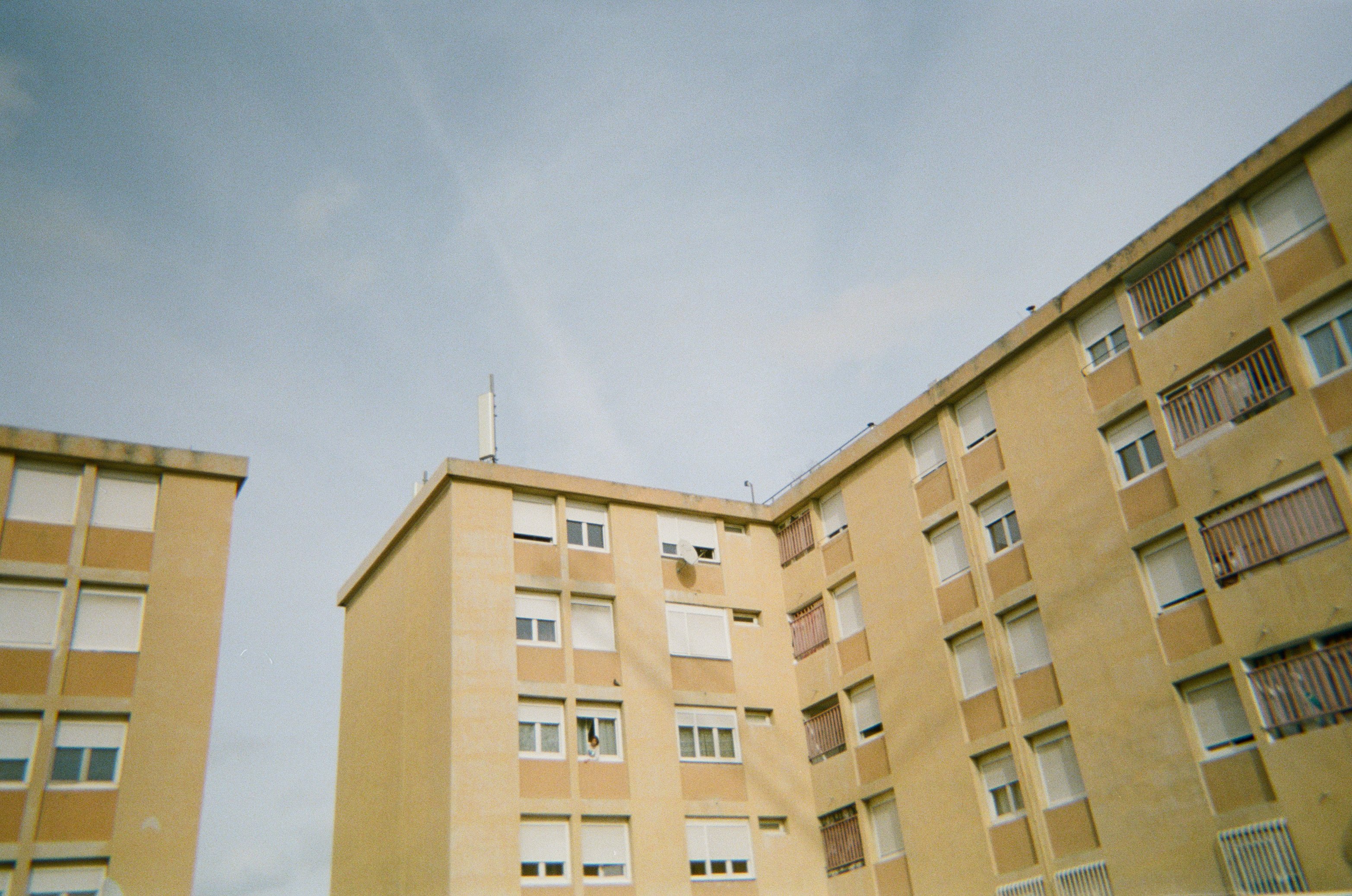
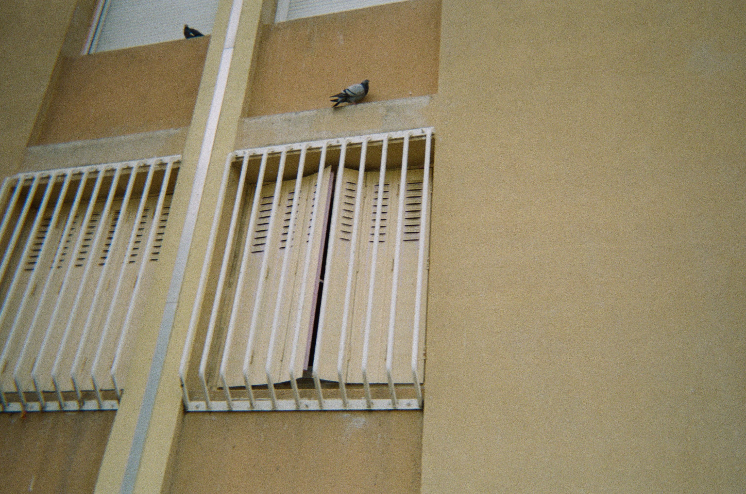
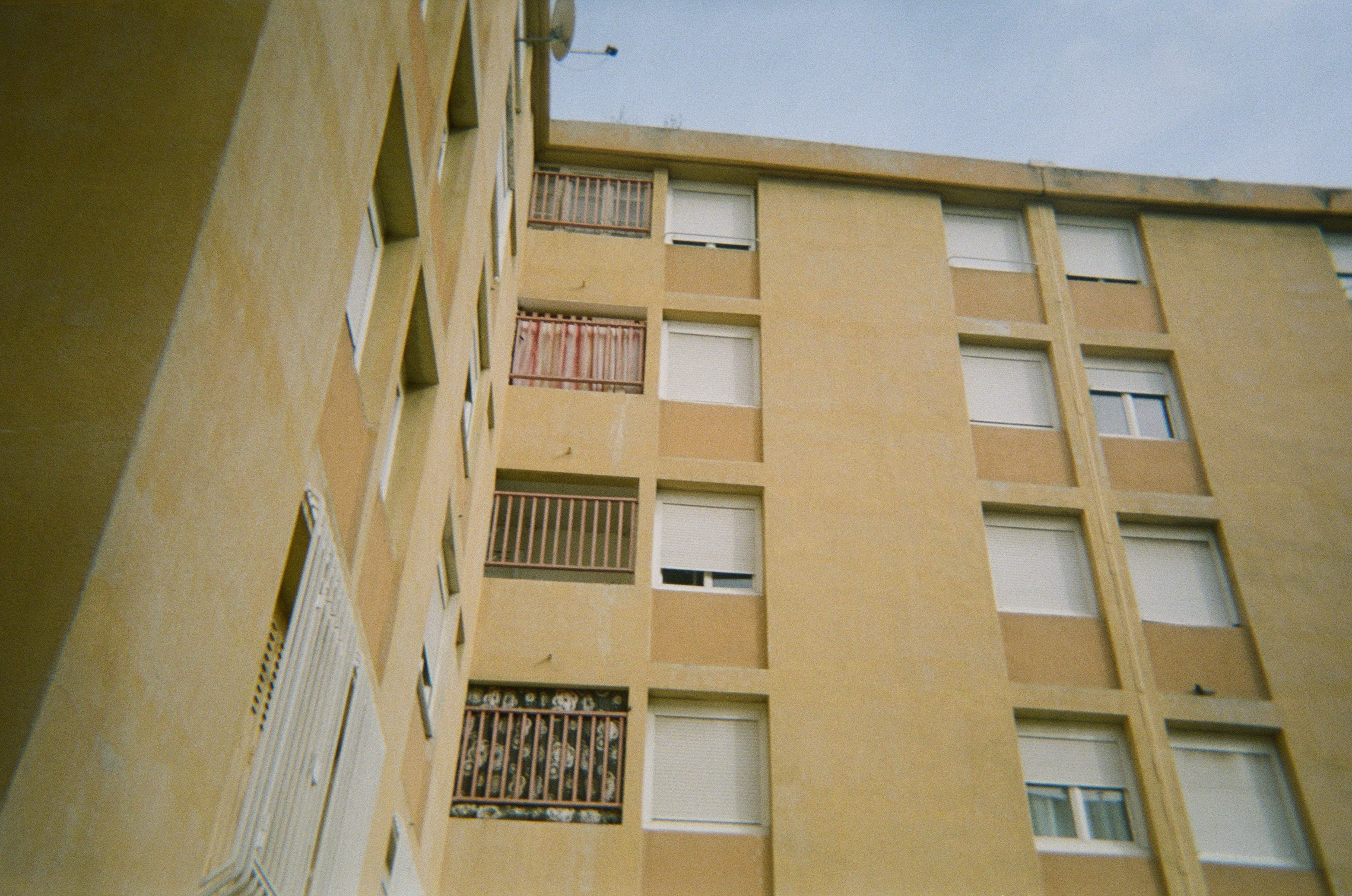
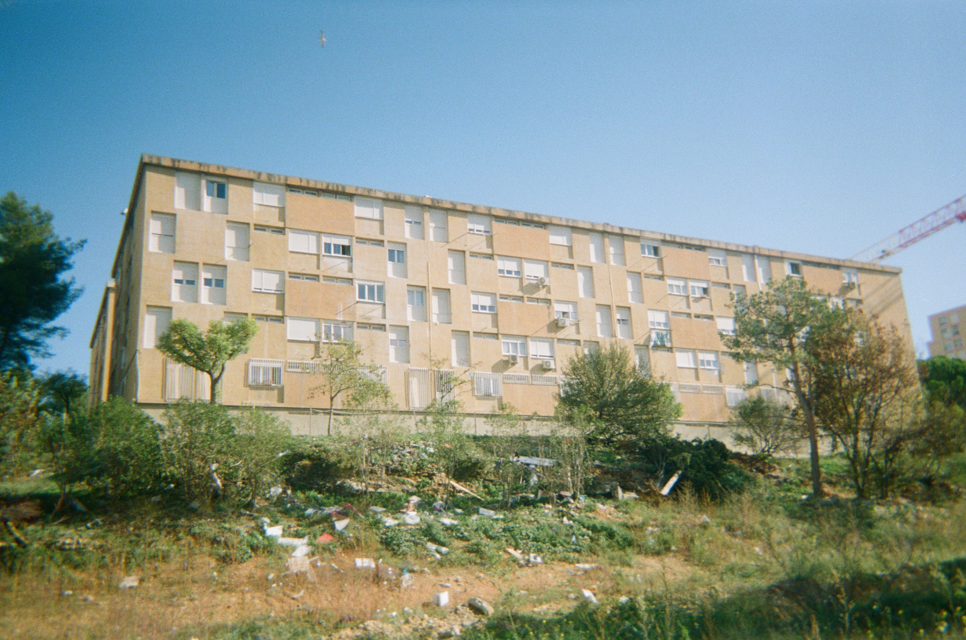
The children we have been working with since 2023 live here: “I’ve lived here for 14 years and there are 6 blocks.” Behind, on the side of the former Petit Séminaire: “The grass is full of trash. It’s sad.”
06 · what remains
photographs by the children of Les Ruches, 2023
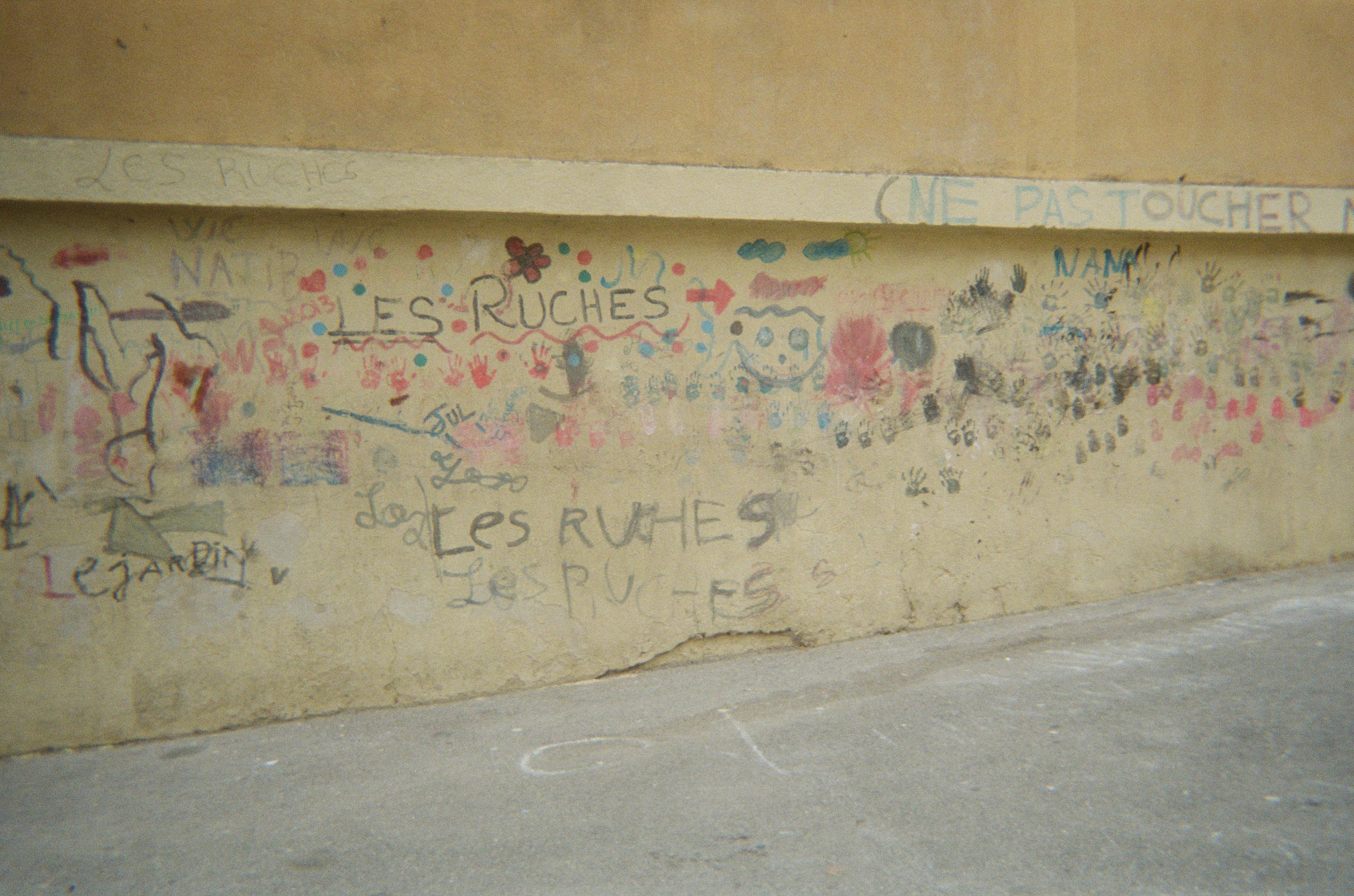
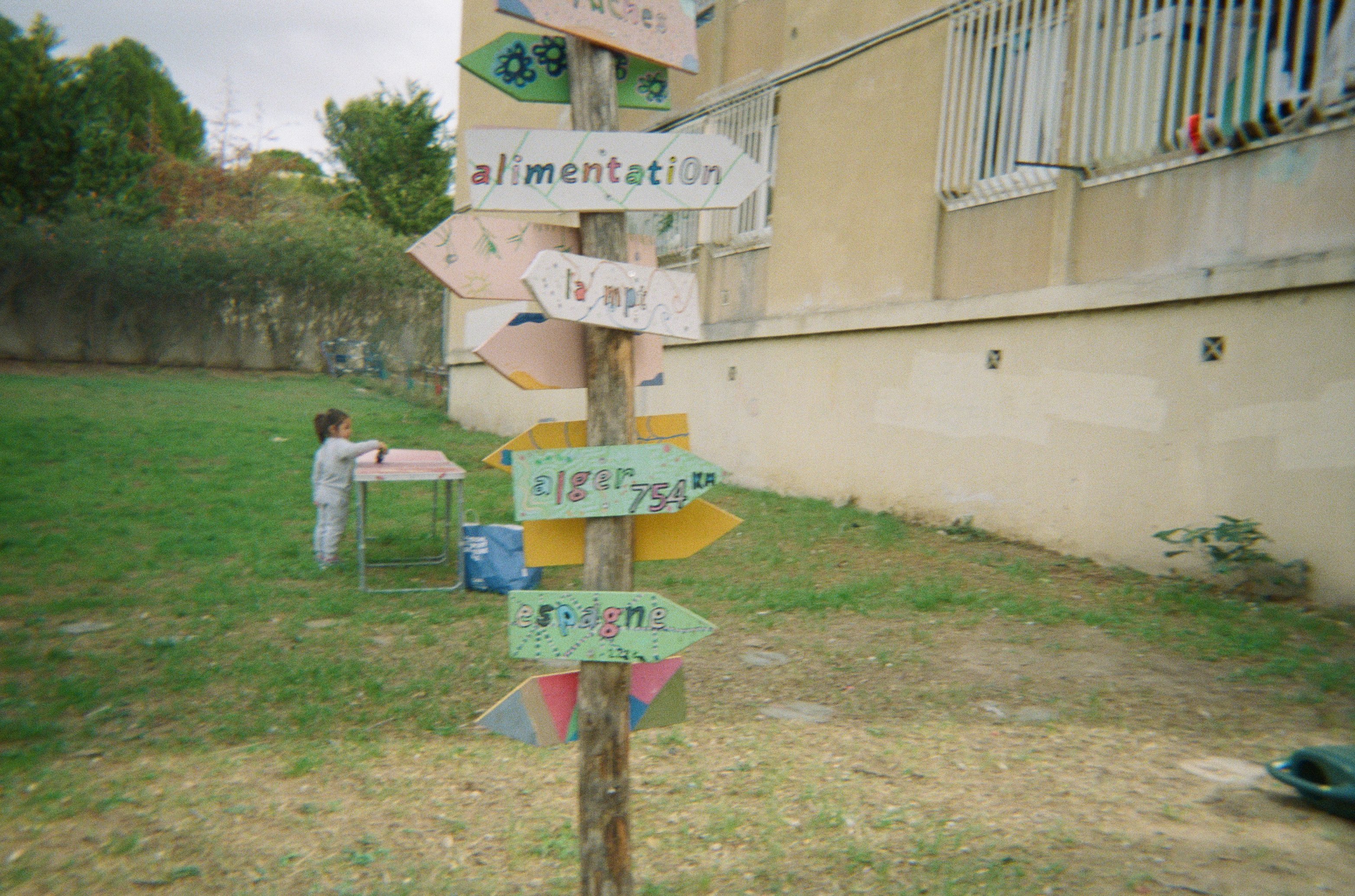
“It’s a painting between C1 and D4. We repainted the walls because it brings life back.” Further on, signs painted by the children, with real places and imaginary ones.
07 · what remains
photographs by the children of Les Ruches, 2023
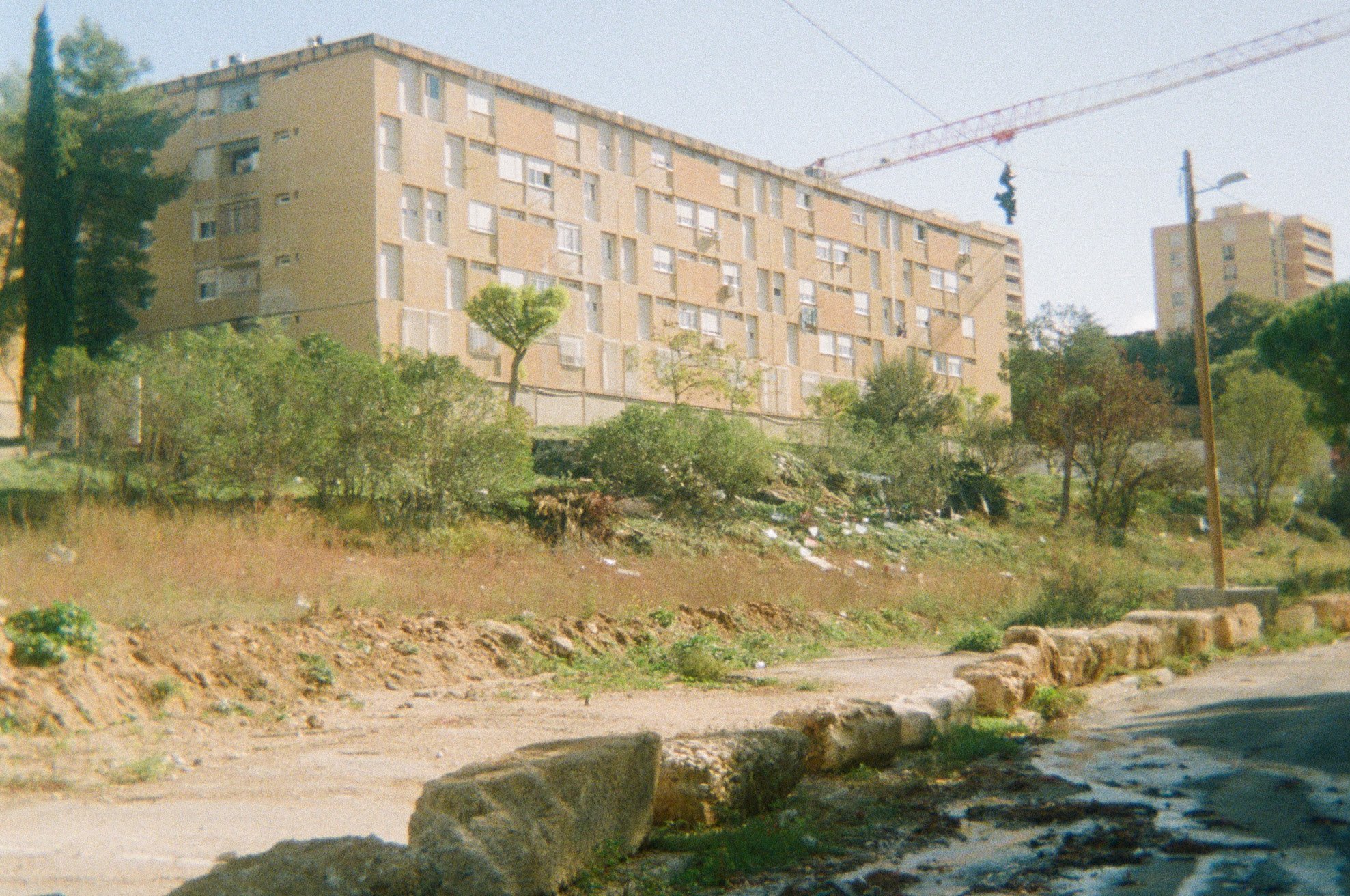
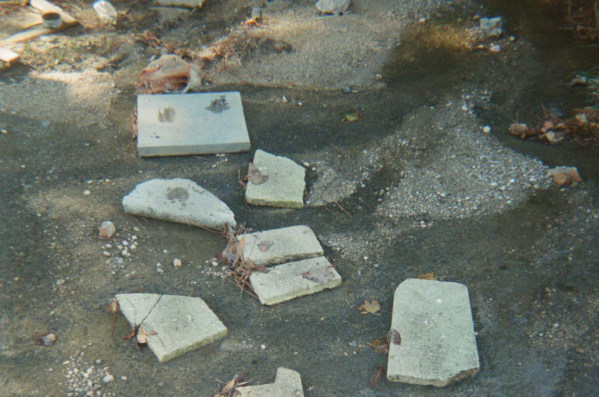
On their map, the children drew the way to the Maison pour tous: take the slope, then the stairs, walk on the boards and on the stones to avoid the sewer water.
08 · what remains
the exhibition of October 1, 2025
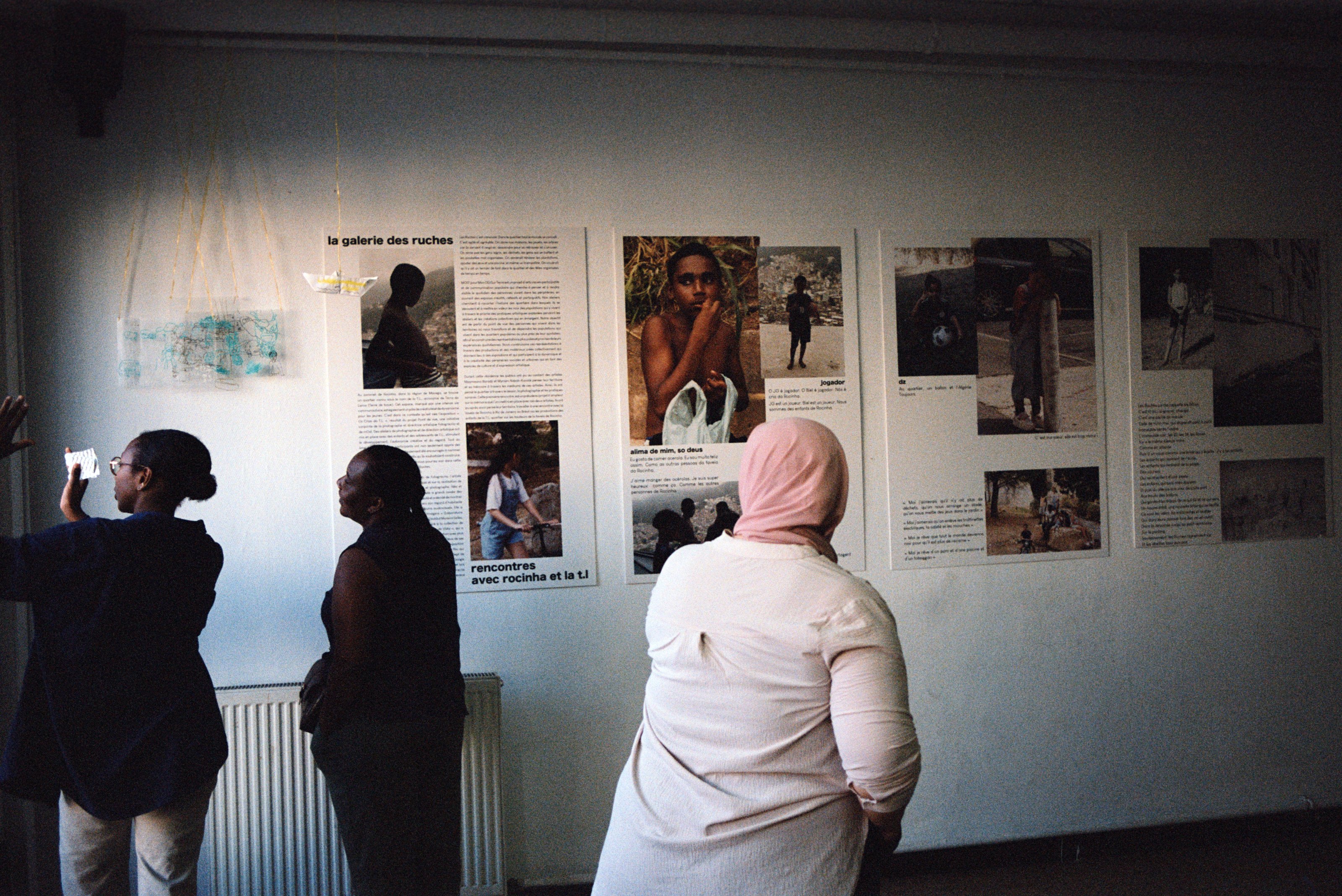
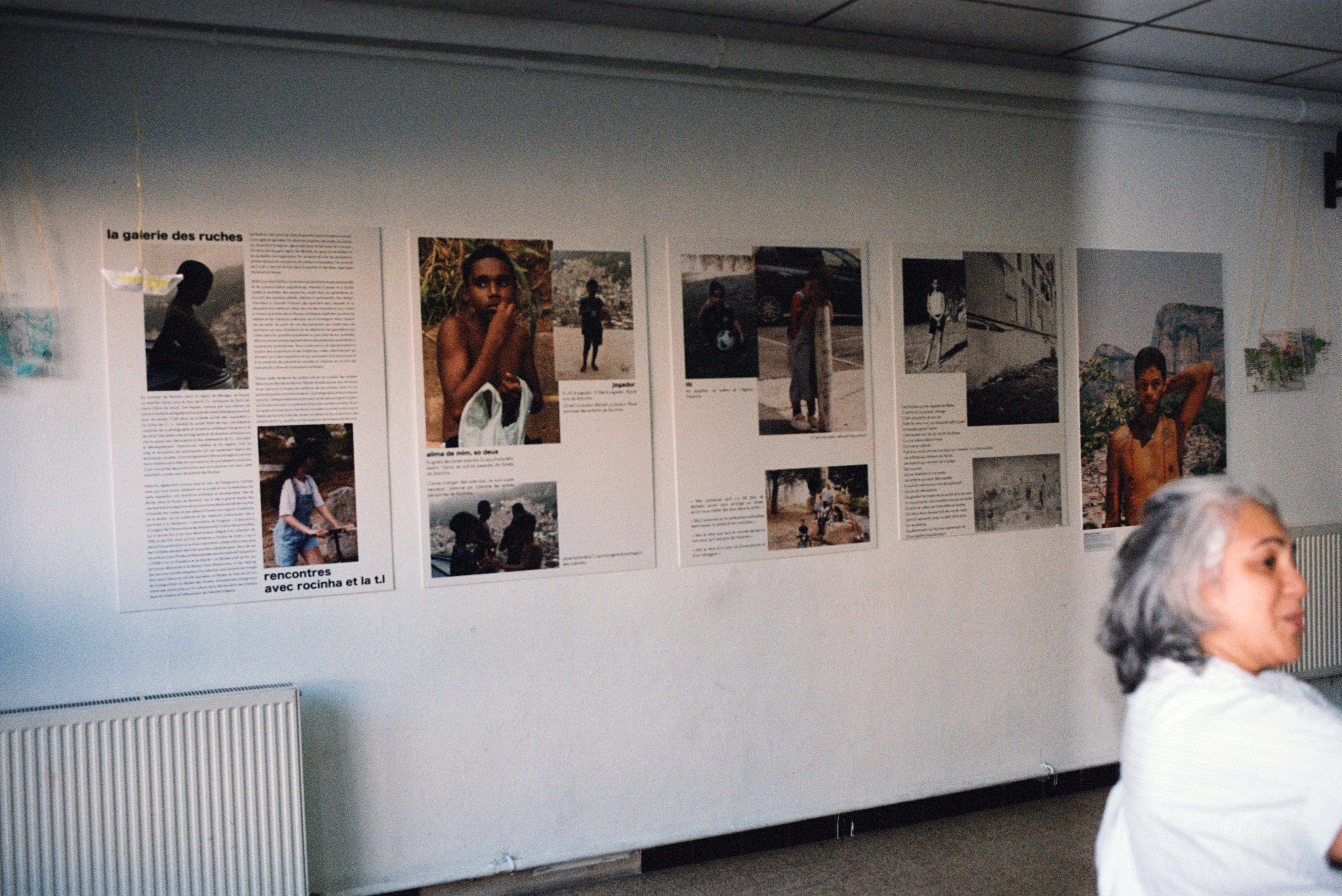
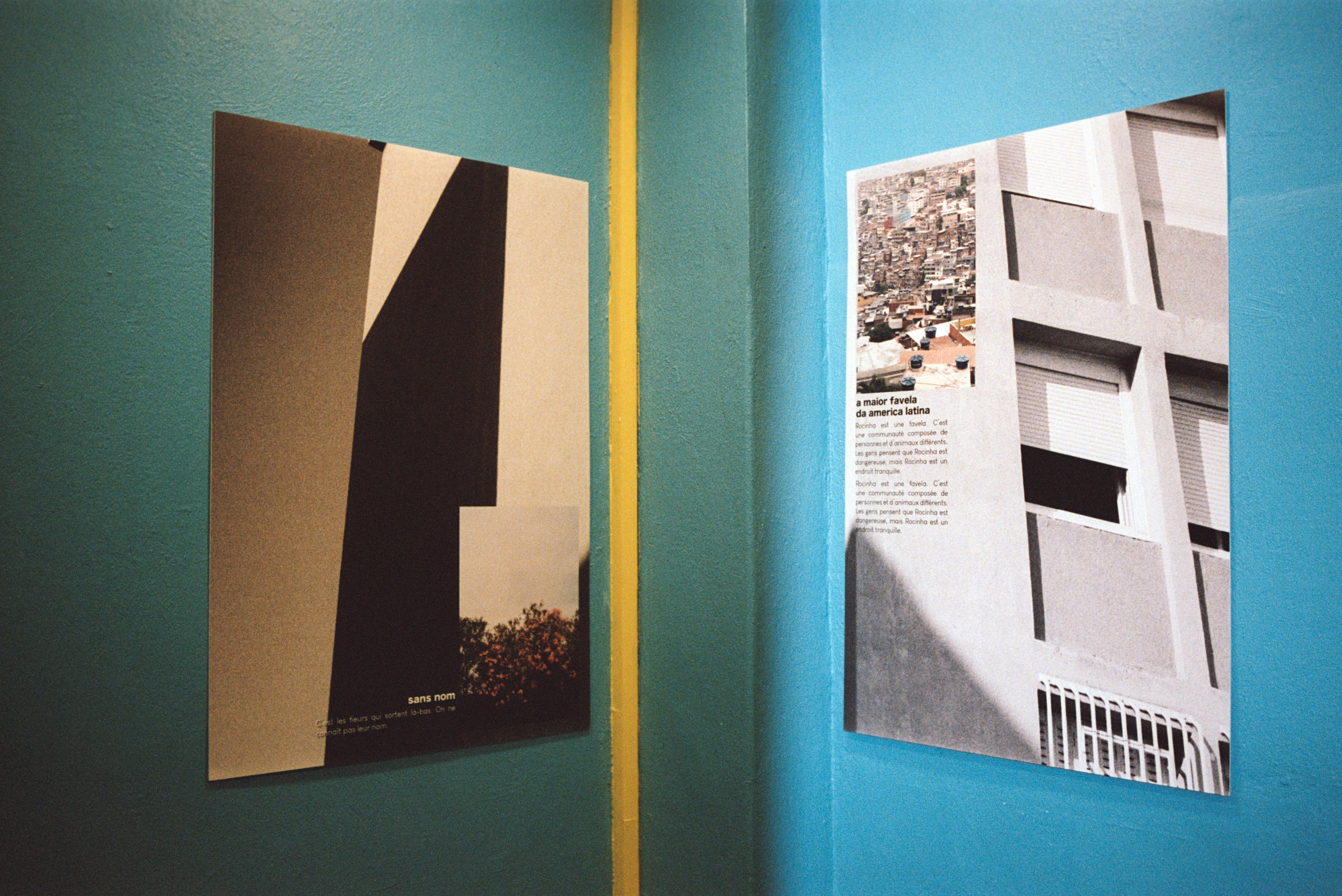
The centre social La Maurelle, where the workshops start. On October 1, 2025, la galerie des ruches · rencontres la t.l was hung here: the images of Les Ruches and of the T.L., in Rio, face to face.
le petit séminaire
Construction begins: 240 homes in four buildings, designed by the architect Georges Candilis, to clear part of Marseille’s shantytowns.
For ten years, an unusual rehabilitation, led by the CERFISE, a team of architects, sociologists and photographers.
The demolition of the four buildings begins. It ends in 2024.
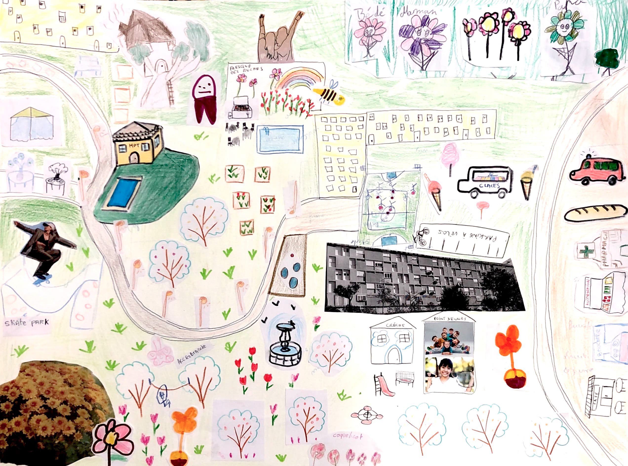
The children of Les Ruches photograph the neighborhood and draw, in place of the Petit Séminaire, a big park, “very beautiful and very clean.”
In the film la vie aux ruches, they show the place where it stood.
The projet mémoire, a community arts residency at Les Ruches: a sensitive map and a sound series on the memory of the neighborhood.
what the children say
“The grass is full of trash. It’s sad.”
The sports field? “They shouldn’t have destroyed it.”
In place of the Petit Séminaire, a big park, “very beautiful and very clean,” full of poppies, daisies and roses.
the map of the future by the children of Les Ruches, 2023
to go further
Sources: the Quartiers de demain consultation (French Ministry of Culture) for the history of the Petit Séminaire. Aerial views: IGN orthophotographs from the 1950s, 1969, 2003, 2017, 2020, 2023 and 2026, under the Licence Ouverte. Buildings: IGN BD TOPO; footprints of the Petit Séminaire: OpenStreetMap, as of 2019.